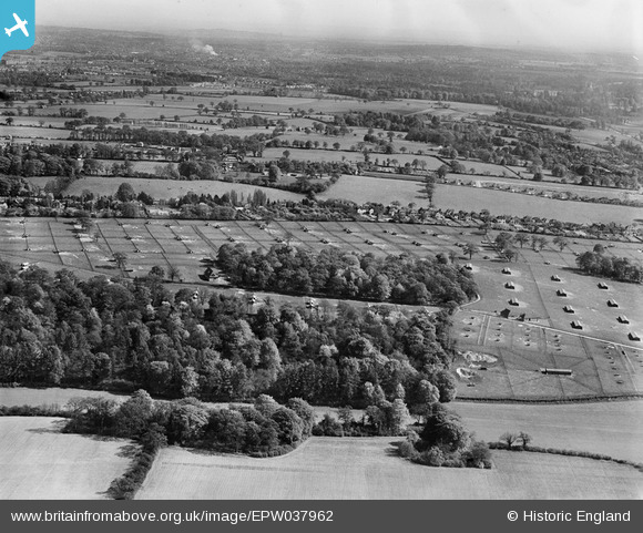
EPW037962 ENGLAND (1932). The Ovaltine Egg Farm, Abbots Langley, from the north-west, 1932
    © Copyright OpenStreetMap contributors and licensed by the OpenStreetMap Foundation. 2025. Cartography is licensed as CC BY-SA.
  
Nearby Images (5)
Details
| Title | [EPW037962] The Ovaltine Egg Farm, Abbots Langley, from the north-west, 1932 | 
| Reference | EPW037962 | 
| Date | May-1932 | 
| Link | |
| Place name | ABBOTS LANGLEY | 
| Parish | ABBOTS LANGLEY | 
| District | |
| Country | ENGLAND | 
| Easting / Northing | 508515, 202411 | 
| Longitude / Latitude | -0.42926385334278, 51.709466768685 | 
| National Grid Reference | TL085024 | 
Pins
Be the first to add a comment to this image!
 
             
  ![[EPW037962] The Ovaltine Egg Farm, Abbots Langley, from the north-west, 1932](http://britainfromabove.org.uk/sites/all/libraries/aerofilms-images/public/100x100/EPW/037/EPW037962.jpg) 
  
                                          ![[EPW037964] The Ovaltine Egg Farm, Abbots Langley, from the north-west, 1932](http://britainfromabove.org.uk/sites/all/libraries/aerofilms-images/public/100x100/EPW/037/EPW037964.jpg) 
 ![[EPW037967] The Ovaltine Egg Farm, Abbots Langley, from the south-east, 1932](http://britainfromabove.org.uk/sites/all/libraries/aerofilms-images/public/100x100/EPW/037/EPW037967.jpg) 
 ![[EPW037952] The Ovaltine Egg Farm, Abbots Langley, 1932](http://britainfromabove.org.uk/sites/all/libraries/aerofilms-images/public/100x100/EPW/037/EPW037952.jpg) 
 ![[EPW037966] The Ovaltine Egg Farm and Kings Langley and Abbots Railway Station, Abbots Langley, from the north, 1932](http://britainfromabove.org.uk/sites/all/libraries/aerofilms-images/public/100x100/EPW/037/EPW037966.jpg)