
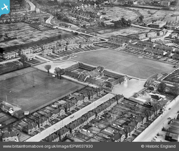
EPW037930 ENGLAND (1932). Beal Modern School and environs, Ilford, 1932
© Copyright OpenStreetMap contributors and licensed by the OpenStreetMap Foundation. 2025. Cartography is licensed as CC BY-SA.
Nearby Images (12)
EPW037930

EPW037932

EPW037538
, Ilford, 1932")
EPW037929

EPW037928

EPW037535
, Ilford, 1932")
EPW037931

EPW037537
, Ilford, 1932")
EPW037536
, Ilford, 1932")
EPW037534
, Ilford, 1932")
EPW037533
, Ilford, 1932")
EPW037532
, Ilford, 1932")
Details
| Title | [EPW037930] Beal Modern School and environs, Ilford, 1932 |
| Reference | EPW037930 |
| Date | 18-May-1932 |
| Link | |
| Place name | ILFORD |
| Parish | |
| District | |
| Country | ENGLAND |
| Easting / Northing | 544646, 187588 |
| Longitude / Latitude | 0.087270961168666, 51.5681105436 |
| National Grid Reference | TQ446876 |
Pins

John W |
Friday 9th of December 2016 09:41:23 PM | |
|
John W |
Friday 9th of December 2016 09:40:29 PM | |
|
John W |
Friday 9th of December 2016 09:37:43 PM |