
EPW037841 ENGLAND (1932). The Hempsted Gasworks on Bristol Road, Podsmead, 1932

© Copyright OpenStreetMap contributors and licensed by the OpenStreetMap Foundation. 2026. Cartography is licensed as CC BY-SA.
Nearby Images (3)
EPW037841

EPW037842

EPW037843

Details
| Title | [EPW037841] The Hempsted Gasworks on Bristol Road, Podsmead, 1932 |
| Reference | EPW037841 |
| Date | May-1932 |
| Link | |
| Place name | PODSMEAD |
| Parish | |
| District | |
| Country | ENGLAND |
| Easting / Northing | 381939, 215723 |
| Longitude / Latitude | -2.2621742350644, 51.839376348275 |
| National Grid Reference | SO819157 |
Pins

Class31 |
Wednesday 29th of October 2014 01:22:41 PM | |
|
Class31 |
Wednesday 29th of October 2014 01:16:41 PM | |
Bridge for the GWR New Docks Branch. |
Class31 |
Wednesday 29th of October 2014 01:21:08 PM |
|
Class31 |
Wednesday 29th of October 2014 01:13:11 PM | |
 |
Class31 |
Wednesday 29th of October 2014 12:33:10 PM |


User Comment Contributions

The Gloucester & Sharpness Canal from Hempsted Bridge, Gloucester, 28/10/2014 |
Class31 |
Wednesday 29th of October 2014 01:15:06 PM |
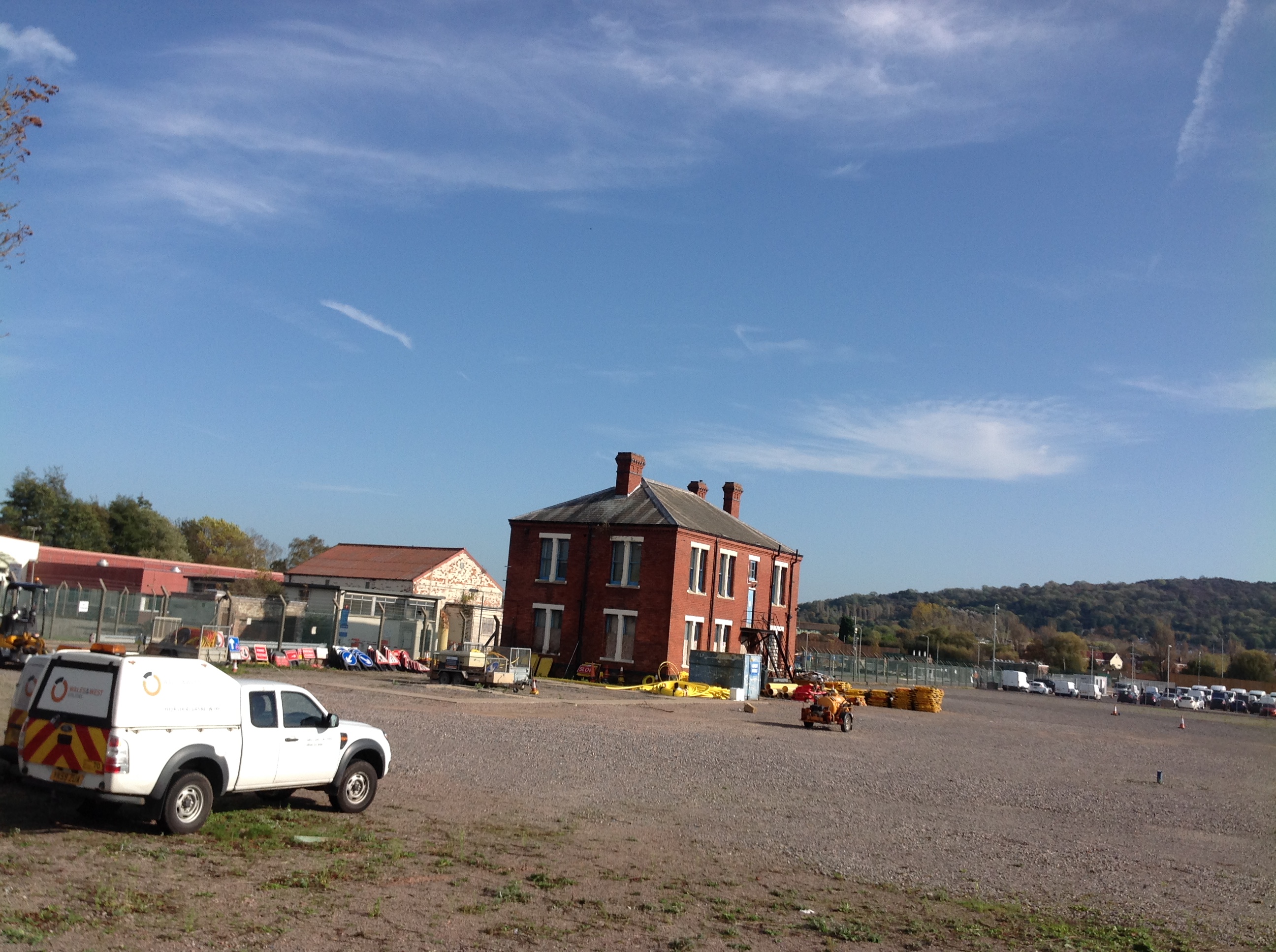
The Hempsted Gasworks on Bristol Road, Podsmead, Gloucester, 28/10/2014 |
Class31 |
Wednesday 29th of October 2014 12:30:45 PM |

The Hempsted Gasworks on Bristol Road, Podsmead, Gloucester, 28/10/2014 |
Class31 |
Wednesday 29th of October 2014 12:30:22 PM |
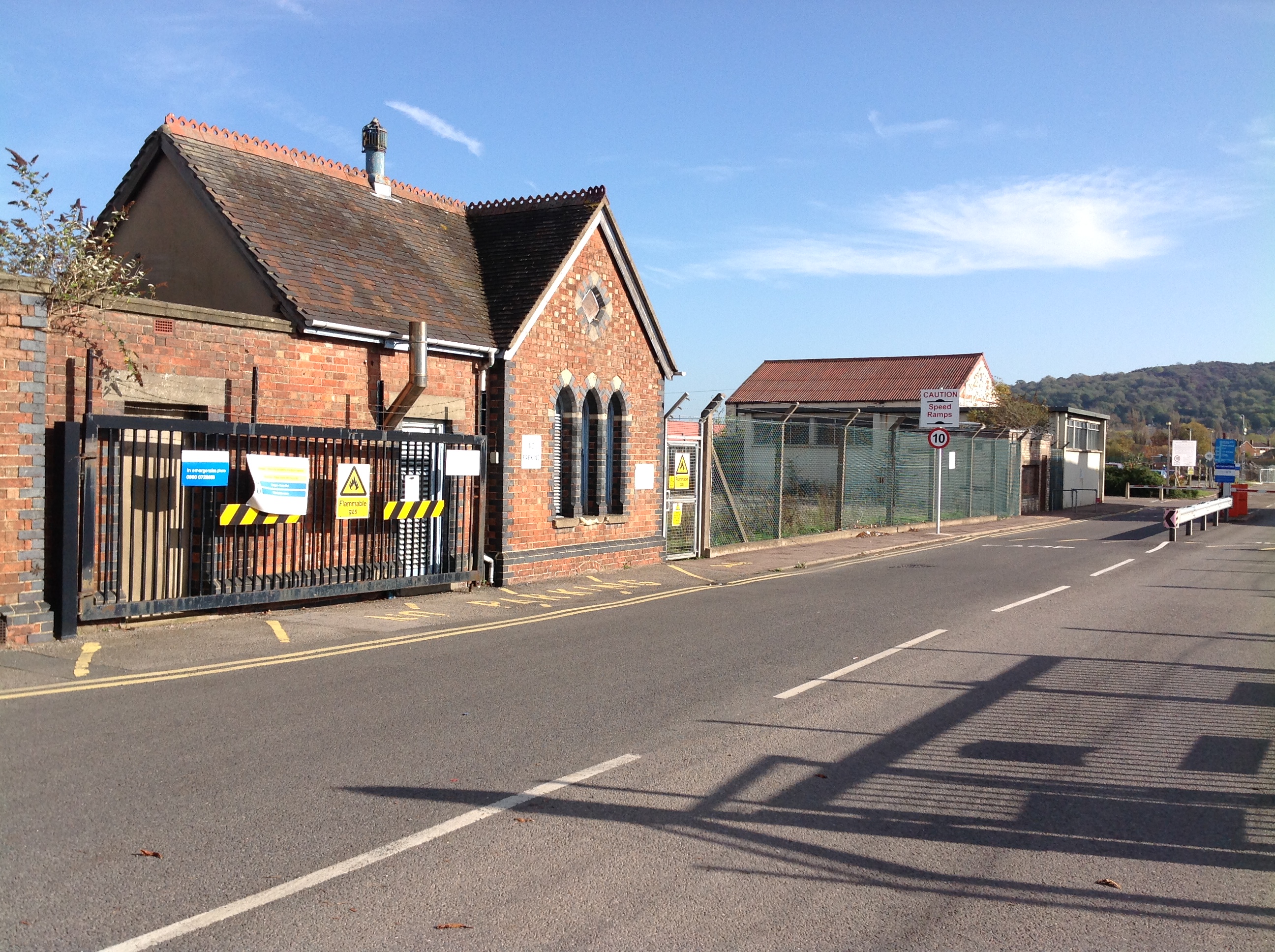
The Hempsted Gasworks on Bristol Road, Podsmead, Gloucester, 28/10/2014 |
Class31 |
Wednesday 29th of October 2014 12:30:02 PM |