
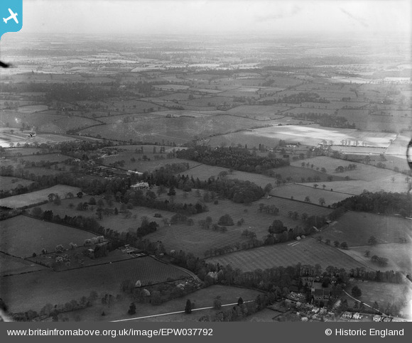
EPW037792 ENGLAND (1932). Garston Manor and surrounding countryside, Abbots Langley, from the south, 1932
© Copyright OpenStreetMap contributors and licensed by the OpenStreetMap Foundation. 2026. Cartography is licensed as CC BY-SA.
Nearby Images (3)
EPW037792

EPW037549

EPW037787

Details
| Title | [EPW037792] Garston Manor and surrounding countryside, Abbots Langley, from the south, 1932 |
| Reference | EPW037792 |
| Date | May-1932 |
| Link | |
| Place name | ABBOTS LANGLEY |
| Parish | ABBOTS LANGLEY |
| District | |
| Country | ENGLAND |
| Easting / Northing | 511280, 201322 |
| Longitude / Latitude | -0.38960543927181, 51.699136412936 |
| National Grid Reference | TL113013 |
