
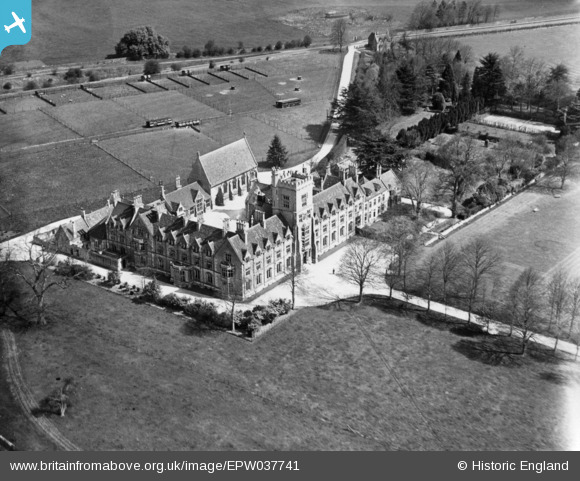
EPW037741 ENGLAND (1932). The Royal Agricultural College, Cirencester, 1932. This image has been produced from a print.
© Copyright OpenStreetMap contributors and licensed by the OpenStreetMap Foundation. 2026. Cartography is licensed as CC BY-SA.
Nearby Images (3)
EPW037741

EPW037743

EPW037742

Details
| Title | [EPW037741] The Royal Agricultural College, Cirencester, 1932. This image has been produced from a print. |
| Reference | EPW037741 |
| Date | May-1932 |
| Link | |
| Place name | CIRENCESTER |
| Parish | CIRENCESTER |
| District | |
| Country | ENGLAND |
| Easting / Northing | 400450, 201192 |
| Longitude / Latitude | -1.9934865816766, 51.70900432103 |
| National Grid Reference | SP005012 |
Pins
Be the first to add a comment to this image!