
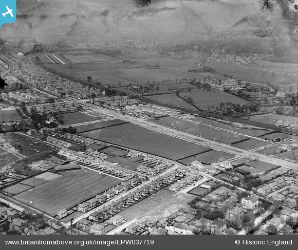
EPW037719 ENGLAND (1932). New housing along Brodie Avenue and environs, Grassendale, 1932
© Copyright OpenStreetMap contributors and licensed by the OpenStreetMap Foundation. 2025. Cartography is licensed as CC BY-SA.
Nearby Images (4)
EPW037719

EPW037716

EPW037718

EPW037717

Details
| Title | [EPW037719] New housing along Brodie Avenue and environs, Grassendale, 1932 |
| Reference | EPW037719 |
| Date | May-1932 |
| Link | |
| Place name | GRASSENDALE |
| Parish | |
| District | |
| Country | ENGLAND |
| Easting / Northing | 339738, 386006 |
| Longitude / Latitude | -2.905754489758, 53.36721573492 |
| National Grid Reference | SJ397860 |
Pins
Be the first to add a comment to this image!