
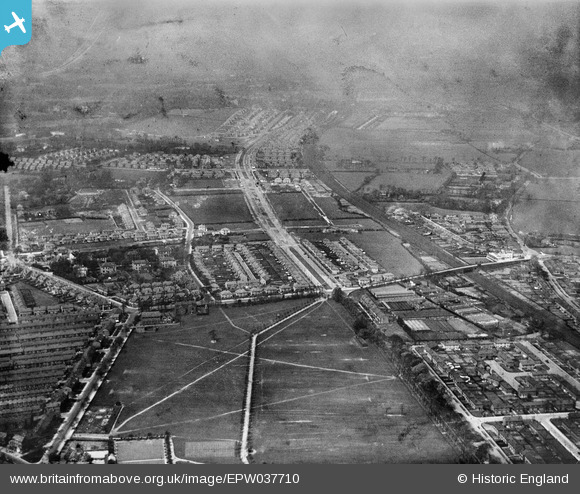
EPW037710 ENGLAND (1932). Long Lane Recreation Ground, Greenhill Nursery and new housing along Brodie Avenue, Grassendale, 1932
© Copyright OpenStreetMap contributors and licensed by the OpenStreetMap Foundation. 2025. Cartography is licensed as CC BY-SA.
Nearby Images (3)
EPW037710

EPW037711

EPW037717

Details
| Title | [EPW037710] Long Lane Recreation Ground, Greenhill Nursery and new housing along Brodie Avenue, Grassendale, 1932 |
| Reference | EPW037710 |
| Date | May-1932 |
| Link | |
| Place name | GRASSENDALE |
| Parish | |
| District | |
| Country | ENGLAND |
| Easting / Northing | 339940, 385745 |
| Longitude / Latitude | -2.9026691953882, 53.364892720986 |
| National Grid Reference | SJ399857 |
Pins

Strider |
Monday 25th of August 2014 07:54:13 PM |