
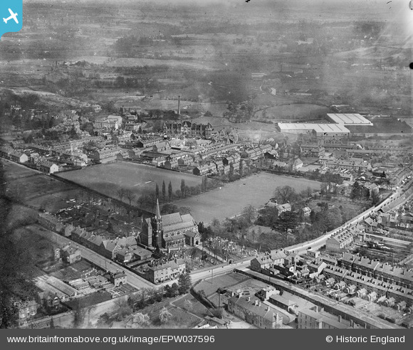
EPW037596 ENGLAND (1932). St John the Baptist's Church and the St John's Street area, Kidderminster, from the south-west, 1932
© Copyright OpenStreetMap contributors and licensed by the OpenStreetMap Foundation. 2026. Cartography is licensed as CC BY-SA.
Nearby Images (4)
EPW037596

EPW037597

EPW037595

EPW034231

Details
| Title | [EPW037596] St John the Baptist's Church and the St John's Street area, Kidderminster, from the south-west, 1932 |
| Reference | EPW037596 |
| Date | April-1932 |
| Link | |
| Place name | KIDDERMINSTER |
| Parish | |
| District | |
| Country | ENGLAND |
| Easting / Northing | 382341, 276578 |
| Longitude / Latitude | -2.2594963959255, 52.386565521303 |
| National Grid Reference | SO823766 |
Pins

The_Engineer |
Wednesday 29th of October 2014 03:54:29 PM | |
|
The_Engineer |
Wednesday 29th of October 2014 03:54:04 PM |