
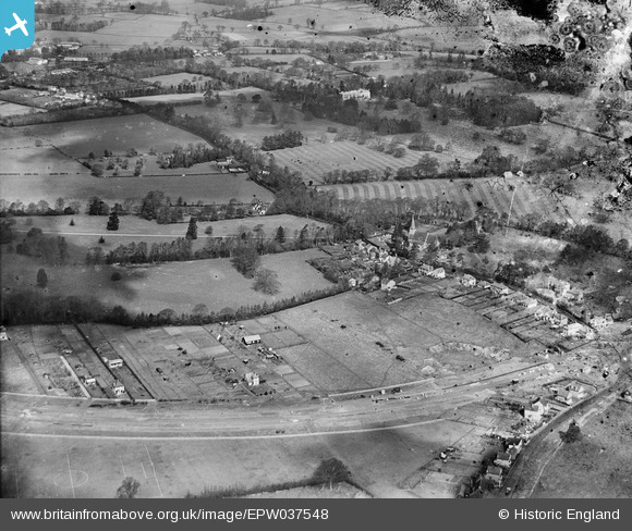
EPW037548 ENGLAND (1932). Woodside, Garston, from the south-east, 1932
© Copyright OpenStreetMap contributors and licensed by the OpenStreetMap Foundation. 2026. Cartography is licensed as CC BY-SA.
Nearby Images (2)
EPW037548

EAW047900A

Details
| Title | [EPW037548] Woodside, Garston, from the south-east, 1932 |
| Reference | EPW037548 |
| Date | April-1932 |
| Link | |
| Place name | GARSTON |
| Parish | |
| District | |
| Country | ENGLAND |
| Easting / Northing | 511544, 200541 |
| Longitude / Latitude | -0.38603637744095, 51.692063871061 |
| National Grid Reference | TL115005 |
Pins

Mrs |
Thursday 29th of September 2022 04:01:44 PM | |
|
Mrs |
Friday 10th of September 2021 04:05:57 PM | |
|
Mrs |
Friday 10th of September 2021 04:01:45 PM | |
|
Mrs |
Friday 10th of September 2021 03:58:42 PM | |
|
Mrs |
Tuesday 9th of June 2020 03:49:45 PM | |
|
Tinytroll |
Tuesday 10th of October 2017 11:17:32 AM | |
|
John W |
Friday 22nd of July 2016 09:23:12 PM | |
|
Jo Pavey |
Friday 20th of June 2014 12:24:02 PM |

