
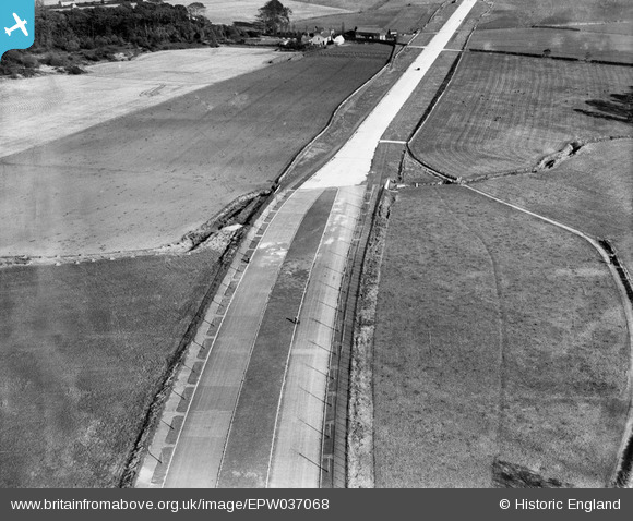
EPW037068 ENGLAND (1931). The East Lancashire Road (A580), Gillmoss, 1931
© Copyright OpenStreetMap contributors and licensed by the OpenStreetMap Foundation. 2025. Cartography is licensed as CC BY-SA.
Nearby Images (4)
EPW037068
, Gillmoss, 1931")
EPW037067
, Gillmoss, 1931")
EPW037069
, Gillmoss, 1931")
EAW050248

Details
| Title | [EPW037068] The East Lancashire Road (A580), Gillmoss, 1931 |
| Reference | EPW037068 |
| Date | October-1931 |
| Link | |
| Place name | GILLMOSS |
| Parish | |
| District | |
| Country | ENGLAND |
| Easting / Northing | 340803, 396622 |
| Longitude / Latitude | -2.8917433811212, 53.462758054179 |
| National Grid Reference | SJ408966 |
Pins

jimmyjoggers |
Tuesday 4th of March 2014 08:40:07 AM |