
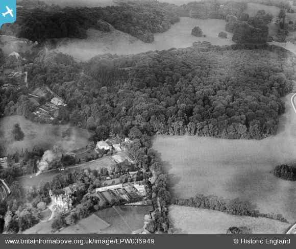
EPW036949 ENGLAND (1931). Nut Wood and environs, Reigate, 1931
© Copyright OpenStreetMap contributors and licensed by the OpenStreetMap Foundation. 2026. Cartography is licensed as CC BY-SA.
Nearby Images (2)
EPW036949

EPW036952

Details
| Title | [EPW036949] Nut Wood and environs, Reigate, 1931 |
| Reference | EPW036949 |
| Date | October-1931 |
| Link | |
| Place name | REIGATE |
| Parish | |
| District | |
| Country | ENGLAND |
| Easting / Northing | 526621, 151856 |
| Longitude / Latitude | -0.18544343139012, 51.251284658461 |
| National Grid Reference | TQ266519 |
Pins
Be the first to add a comment to this image!