
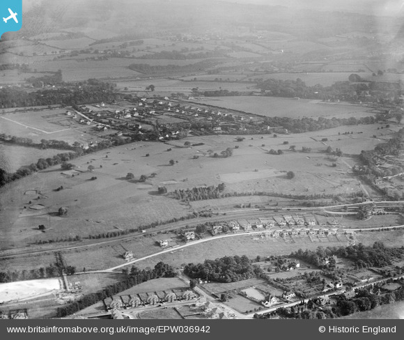
EPW036942 ENGLAND (1931). How Hills Golf Course and environs, Chipstead, 1931
© Copyright OpenStreetMap contributors and licensed by the OpenStreetMap Foundation. 2026. Cartography is licensed as CC BY-SA.
Nearby Images (2)
EPW036942

EPW036932

Details
| Title | [EPW036942] How Hills Golf Course and environs, Chipstead, 1931 |
| Reference | EPW036942 |
| Date | October-1931 |
| Link | |
| Place name | CHIPSTEAD |
| Parish | |
| District | |
| Country | ENGLAND |
| Easting / Northing | 527995, 158302 |
| Longitude / Latitude | -0.16345424422278, 51.30891597656 |
| National Grid Reference | TQ280583 |
Pins

Rob |
Tuesday 18th of November 2014 11:44:05 AM | |
|
Rob |
Tuesday 18th of November 2014 11:41:10 AM | |
|
Rob |
Monday 20th of October 2014 09:08:48 PM | |
|
Rob |
Monday 20th of October 2014 09:04:23 PM | |
|
Rob |
Monday 20th of October 2014 09:03:38 PM | |
|
Rob |
Monday 20th of October 2014 09:03:06 PM | |
|
Rob |
Monday 20th of October 2014 09:02:30 PM | |
|
Rob |
Monday 20th of October 2014 09:01:11 PM |