
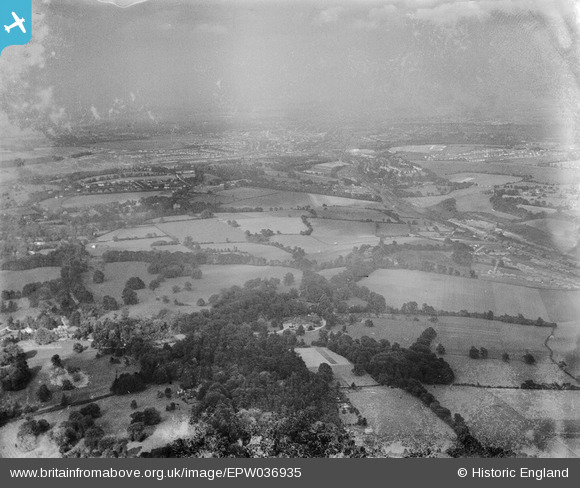
EPW036935 ENGLAND (1931). The Grove and countryside between Hooley and Chipstead, Hooley, from the south-west, 1931
© Copyright OpenStreetMap contributors and licensed by the OpenStreetMap Foundation. 2025. Cartography is licensed as CC BY-SA.
Nearby Images (3)
EPW036935

EPW036957

EPW036956

Details
| Title | [EPW036935] The Grove and countryside between Hooley and Chipstead, Hooley, from the south-west, 1931 |
| Reference | EPW036935 |
| Date | October-1931 |
| Link | |
| Place name | HOOLEY |
| Parish | |
| District | |
| Country | ENGLAND |
| Easting / Northing | 527841, 155956 |
| Longitude / Latitude | -0.16650319153548, 51.287864266667 |
| National Grid Reference | TQ278560 |
Pins
Be the first to add a comment to this image!