
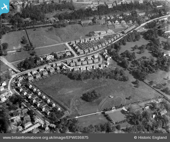
EPW036875 ENGLAND (1931). Crow Wood Park, Sowerby Bridge, 1931
© Copyright OpenStreetMap contributors and licensed by the OpenStreetMap Foundation. 2026. Cartography is licensed as CC BY-SA.
Nearby Images (5)
EPW036875

EPW036874

EPW036873

EAW004537

EAW004538

Details
| Title | [EPW036875] Crow Wood Park, Sowerby Bridge, 1931 |
| Reference | EPW036875 |
| Date | September-1931 |
| Link | |
| Place name | SOWERBY BRIDGE |
| Parish | |
| District | |
| Country | ENGLAND |
| Easting / Northing | 406882, 424248 |
| Longitude / Latitude | -1.8957131350876, 53.71437920498 |
| National Grid Reference | SE069242 |
Pins
Be the first to add a comment to this image!