
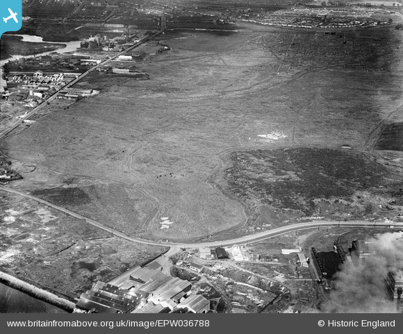
EPW036788 ENGLAND (1931). Ripple Level and industrial buildings alongside River Road, Creekmouth, 1931
© Copyright OpenStreetMap contributors and licensed by the OpenStreetMap Foundation. 2026. Cartography is licensed as CC BY-SA.
Nearby Images (2)
EPW036788

EPW010669

Details
| Title | [EPW036788] Ripple Level and industrial buildings alongside River Road, Creekmouth, 1931 |
| Reference | EPW036788 |
| Date | September-1931 |
| Link | |
| Place name | CREEKMOUTH |
| Parish | |
| District | |
| Country | ENGLAND |
| Easting / Northing | 546055, 182004 |
| Longitude / Latitude | 0.10527055003124, 51.517567462615 |
| National Grid Reference | TQ461820 |
Pins
Be the first to add a comment to this image!