
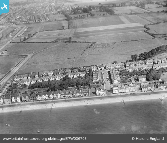
EPW036703 ENGLAND (1931). The seafront and housing surrounding Shaftesbury Avenue and Plas Newydd, Southend-on-Sea, 1931
© Copyright OpenStreetMap contributors and licensed by the OpenStreetMap Foundation. 2026. Cartography is licensed as CC BY-SA.
Nearby Images (2)
EPW036703

EPW036701

Details
| Title | [EPW036703] The seafront and housing surrounding Shaftesbury Avenue and Plas Newydd, Southend-on-Sea, 1931 |
| Reference | EPW036703 |
| Date | September-1931 |
| Link | |
| Place name | SOUTHEND-ON-SEA |
| Parish | |
| District | |
| Country | ENGLAND |
| Easting / Northing | 590288, 185012 |
| Longitude / Latitude | 0.74378517746972, 51.531419272591 |
| National Grid Reference | TQ903850 |
Pins
Be the first to add a comment to this image!