
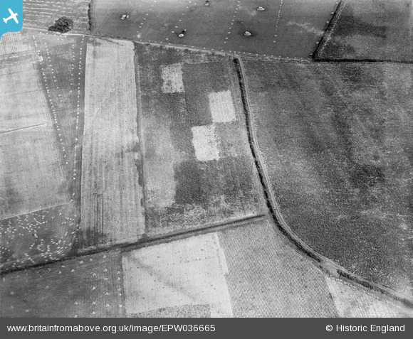
EPW036665 ENGLAND (1931). Farmland belonging to the Agricultural College (Harper Adams University College), Edgmond, 1931
© Copyright OpenStreetMap contributors and licensed by the OpenStreetMap Foundation. 2025. Cartography is licensed as CC BY-SA.
Nearby Images (10)
EPW036665
, Edgmond, 1931")
EPW036663
, Edgmond, 1931")
EPW036666
, Edgmond, 1931")
EPW036667
, Edgmond, 1931")
EPW036664
, Edgmond, 1931")
EPW017861
, Edgmond, from the south-west, 1927")
EPW017862
, Edgmond, from the south, 1927")
EPW036657
, Edgmond, from the south-west, 1931")
EPW017854
, Edgmond, from the south-west, 1927")
EPW017853
, Edgmond, from the south, 1927")
Details
| Title | [EPW036665] Farmland belonging to the Agricultural College (Harper Adams University College), Edgmond, 1931 |
| Reference | EPW036665 |
| Date | September-1931 |
| Link | |
| Place name | EDGMOND |
| Parish | EDGMOND |
| District | |
| Country | ENGLAND |
| Easting / Northing | 371138, 319629 |
| Longitude / Latitude | -2.4278708352153, 52.77314415345 |
| National Grid Reference | SJ711196 |
Pins
Be the first to add a comment to this image!