
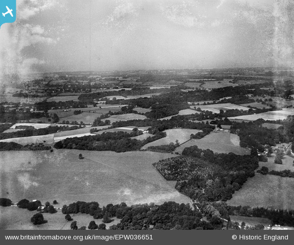
EPW036651 ENGLAND (1931). Ashstead Hill, Merstham, from the south-east, 1931
© Copyright OpenStreetMap contributors and licensed by the OpenStreetMap Foundation. 2025. Cartography is licensed as CC BY-SA.
Nearby Images (2)
EPW036651

EPW036638

Details
| Title | [EPW036651] Ashstead Hill, Merstham, from the south-east, 1931 |
| Reference | EPW036651 |
| Date | September-1931 |
| Link | |
| Place name | MERSTHAM |
| Parish | |
| District | |
| Country | ENGLAND |
| Easting / Northing | 528384, 154051 |
| Longitude / Latitude | -0.15940441835427, 51.270619576168 |
| National Grid Reference | TQ284541 |
Pins
Be the first to add a comment to this image!