
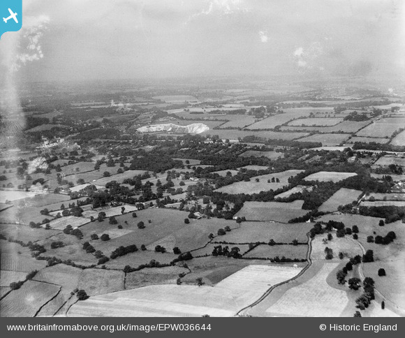
EPW036644 ENGLAND (1931). Worsted Green, Ockley Hill and the Greystone Lime Works, Merstham, from the south-east, 1931
© Copyright OpenStreetMap contributors and licensed by the OpenStreetMap Foundation. 2025. Cartography is licensed as CC BY-SA.
Nearby Images (2)
EPW036644

EPW036647

Details
| Title | [EPW036644] Worsted Green, Ockley Hill and the Greystone Lime Works, Merstham, from the south-east, 1931 |
| Reference | EPW036644 |
| Date | September-1931 |
| Link | |
| Place name | MERSTHAM |
| Parish | |
| District | |
| Country | ENGLAND |
| Easting / Northing | 530534, 152645 |
| Longitude / Latitude | -0.12911143637991, 51.257493843504 |
| National Grid Reference | TQ305526 |
Pins
Be the first to add a comment to this image!