
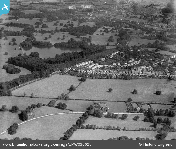
EPW036628 ENGLAND (1931). Coles Meads, Merstham, from the south-west, 1931
© Copyright OpenStreetMap contributors and licensed by the OpenStreetMap Foundation. 2025. Cartography is licensed as CC BY-SA.
Nearby Images (2)
EPW036628

EPW036634

Details
| Title | [EPW036628] Coles Meads, Merstham, from the south-west, 1931 |
| Reference | EPW036628 |
| Date | September-1931 |
| Link | |
| Place name | MERSTHAM |
| Parish | |
| District | |
| Country | ENGLAND |
| Easting / Northing | 527606, 151682 |
| Longitude / Latitude | -0.17139751172894, 51.249501092821 |
| National Grid Reference | TQ276517 |
Pins
Be the first to add a comment to this image!