
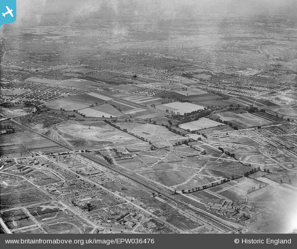
EPW036476 ENGLAND (1931). The site of Mayesbrook Park and adjacent housing estates under construction, Barking, 1931
© Copyright OpenStreetMap contributors and licensed by the OpenStreetMap Foundation. 2026. Cartography is licensed as CC BY-SA.
Nearby Images (2)
EPW036476

EPW006553

Details
| Title | [EPW036476] The site of Mayesbrook Park and adjacent housing estates under construction, Barking, 1931 |
| Reference | EPW036476 |
| Date | August-1931 |
| Link | |
| Place name | BARKING |
| Parish | |
| District | |
| Country | ENGLAND |
| Easting / Northing | 546187, 184983 |
| Longitude / Latitude | 0.10840866016376, 51.544303706641 |
| National Grid Reference | TQ462850 |
