
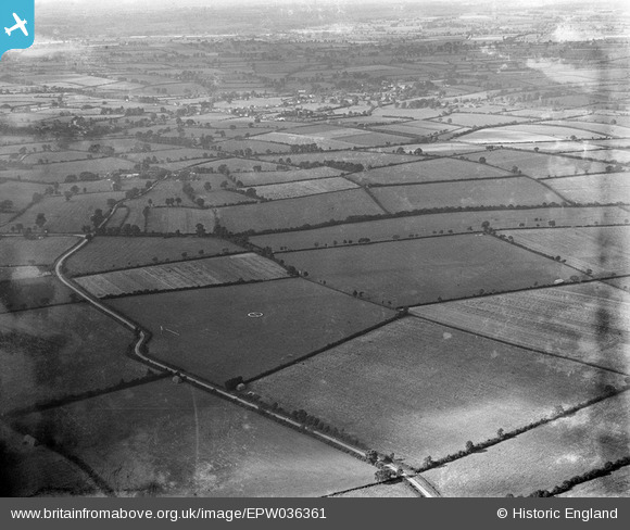
EPW036361 ENGLAND (1931). Loughton Airfield and environs, Shenley Brook End, from the south-east, 1931
© Copyright OpenStreetMap contributors and licensed by the OpenStreetMap Foundation. 2026. Cartography is licensed as CC BY-SA.
Nearby Images (4)
EPW036361

EPW036362

EPW036359

EPW036360

Details
| Title | [EPW036361] Loughton Airfield and environs, Shenley Brook End, from the south-east, 1931 |
| Reference | EPW036361 |
| Date | August-1931 |
| Link | |
| Place name | SHENLEY BROOK END |
| Parish | SHENLEY BROOK END |
| District | |
| Country | ENGLAND |
| Easting / Northing | 484432, 234980 |
| Longitude / Latitude | -0.76980254335676, 52.006401122412 |
| National Grid Reference | SP844350 |
Pins
Be the first to add a comment to this image!