
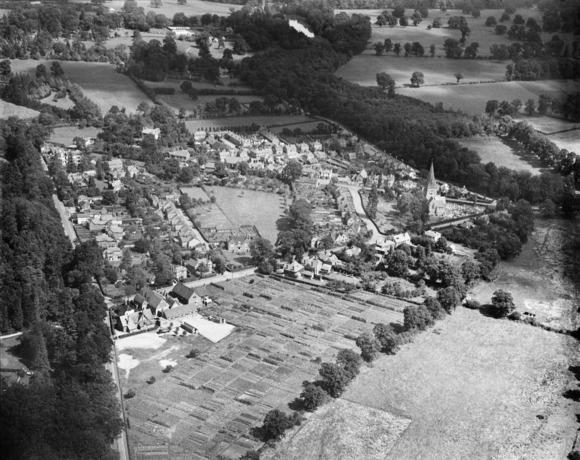
EPW036149 ENGLAND (1931). Holy Trinity Church and the village, Sunningdale, 1931
© Copyright OpenStreetMap contributors and licensed by the OpenStreetMap Foundation. 2025. Cartography is licensed as CC BY-SA.
Nearby Images (2)
EPW036149

EPW036157

Details
| Title | [EPW036149] Holy Trinity Church and the village, Sunningdale, 1931 |
| Reference | EPW036149 |
| Date | August-1931 |
| Link | |
| Place name | SUNNINGDALE |
| Parish | SUNNINGDALE |
| District | |
| Country | ENGLAND |
| Easting / Northing | 495265, 167594 |
| Longitude / Latitude | -0.63042570397176, 51.398874753959 |
| National Grid Reference | SU953676 |
Pins
Be the first to add a comment to this image!
User Comment Contributions
This image has been flipped 180-degrees |

GaryR |
Wednesday 5th of April 2017 01:11:10 PM |