
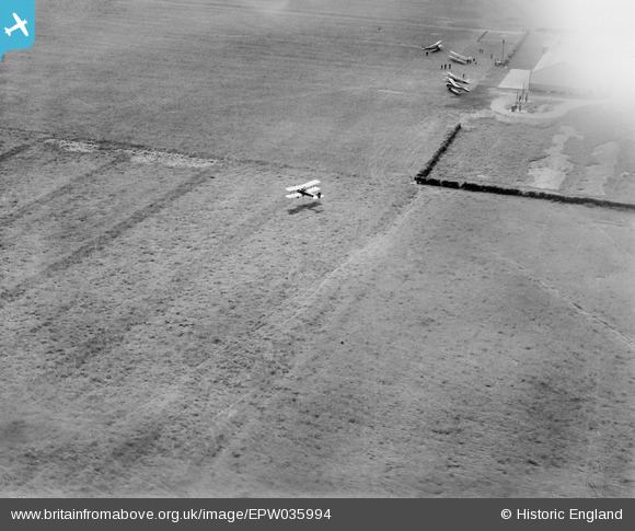
EPW035994 ENGLAND (1931). DH.60M Moth G-AALG taking off from Tollerton Airfield, Tollerton, 1931
© Copyright OpenStreetMap contributors and licensed by the OpenStreetMap Foundation. 2026. Cartography is licensed as CC BY-SA.
Nearby Images (18)
EPW035994

EPW035993

EPW034048

EPW034044

EPW034043

EPW034045
 in hangar, Tollerton, 1930. This image has been affected by flare.")
EAW048688
, Tollerton, 1953. This image was marked by Aerofilms Ltd for photo editing.")
EAW016195

EPW034046

EPR000152

EPW035995

EPW034047

EAW016192

EAW009529
, Tollerton, 1947")
EAW009528
, Tollerton, 1947")
EAW016193

EAW048689
, Tollerton, 1953. This image was marked by Aerofilms Ltd for photo editing.")
EAW016194
 at Tollerton Airfield, Tollerton, 1948. This image has been produced from a damaged negative.")
Details
| Title | [EPW035994] DH.60M Moth G-AALG taking off from Tollerton Airfield, Tollerton, 1931 |
| Reference | EPW035994 |
| Date | July-1931 |
| Link | |
| Place name | TOLLERTON |
| Parish | TOLLERTON |
| District | |
| Country | ENGLAND |
| Easting / Northing | 461808, 336147 |
| Longitude / Latitude | -1.0806328552636, 52.918863063967 |
| National Grid Reference | SK618361 |
Pins
Be the first to add a comment to this image!