
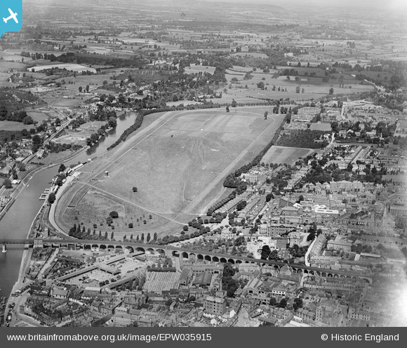
EPW035915 ENGLAND (1931). Worcester Racecourse and environs, Worcester, 1931
© Copyright OpenStreetMap contributors and licensed by the OpenStreetMap Foundation. 2026. Cartography is licensed as CC BY-SA.
Nearby Images (6)
EPW035915

EPW035913

EAW046112

EAW046110

EPW035912

EAW003995

Details
| Title | [EPW035915] Worcester Racecourse and environs, Worcester, 1931 |
| Reference | EPW035915 |
| Date | 3-July-1931 |
| Link | |
| Place name | WORCESTER |
| Parish | |
| District | |
| Country | ENGLAND |
| Easting / Northing | 384308, 255534 |
| Longitude / Latitude | -2.2296114635125, 52.197414168419 |
| National Grid Reference | SO843555 |
Pins
Be the first to add a comment to this image!