
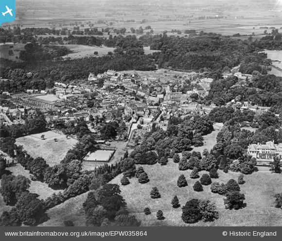
EPW035864 ENGLAND (1931). The town, Ampthill, from the south-east, 1931. This image has been produced from a copy-negative.
© Copyright OpenStreetMap contributors and licensed by the OpenStreetMap Foundation. 2026. Cartography is licensed as CC BY-SA.
Nearby Images (7)
EPW035864

EPW026504

EPW026497

EAW037765

EPW026500

EPW035871

EAW037766

Details
| Title | [EPW035864] The town, Ampthill, from the south-east, 1931. This image has been produced from a copy-negative. |
| Reference | EPW035864 |
| Date | July-1931 |
| Link | |
| Place name | AMPTHILL |
| Parish | AMPTHILL |
| District | |
| Country | ENGLAND |
| Easting / Northing | 503647, 237943 |
| Longitude / Latitude | -0.48903294415552, 52.029778608884 |
| National Grid Reference | TL036379 |
Pins
Be the first to add a comment to this image!