
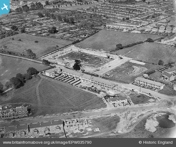
EPW035790 ENGLAND (1931). Westhill Road and the Coundon Reservoir under construction, Coundon, 1931
© Copyright OpenStreetMap contributors and licensed by the OpenStreetMap Foundation. 2026. Cartography is licensed as CC BY-SA.
Nearby Images (4)
EPW035790

EPW035789

EPW035788

EPW035791

Details
| Title | [EPW035790] Westhill Road and the Coundon Reservoir under construction, Coundon, 1931 |
| Reference | EPW035790 |
| Date | July-1931 |
| Link | |
| Place name | COUNDON |
| Parish | |
| District | |
| Country | ENGLAND |
| Easting / Northing | 431836, 280574 |
| Longitude / Latitude | -1.5318003595763, 52.421851979562 |
| National Grid Reference | SP318806 |
Pins
Be the first to add a comment to this image!