
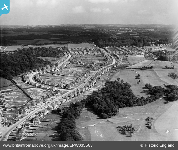
EPW035583 ENGLAND (1931). Croham Hurst Golf Course, Farley Road and environs, Selsdon, from the north-west, 1931
© Copyright OpenStreetMap contributors and licensed by the OpenStreetMap Foundation. 2026. Cartography is licensed as CC BY-SA.
Nearby Images (2)
EPW035583

EPW015878

Details
| Title | [EPW035583] Croham Hurst Golf Course, Farley Road and environs, Selsdon, from the north-west, 1931 |
| Reference | EPW035583 |
| Date | June-1931 |
| Link | |
| Place name | SELSDON |
| Parish | |
| District | |
| Country | ENGLAND |
| Easting / Northing | 534423, 163195 |
| Longitude / Latitude | -0.069429870542471, 51.351410373015 |
| National Grid Reference | TQ344632 |
Pins
Be the first to add a comment to this image!