
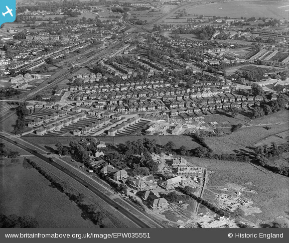
EPW035551 ENGLAND (1931). John Groom's Crippleage under construction, housing surrounding Elmgate Gardens and environs, Mill Hill, 1931
© Copyright OpenStreetMap contributors and licensed by the OpenStreetMap Foundation. 2026. Cartography is licensed as CC BY-SA.
Nearby Images (3)
EPW035551

EPW035550

EPW025804

Details
| Title | [EPW035551] John Groom's Crippleage under construction, housing surrounding Elmgate Gardens and environs, Mill Hill, 1931 |
| Reference | EPW035551 |
| Date | June-1931 |
| Link | |
| Place name | MILL HILL |
| Parish | |
| District | |
| Country | ENGLAND |
| Easting / Northing | 520575, 192609 |
| Longitude / Latitude | -0.25816280876137, 51.618902857234 |
| National Grid Reference | TQ206926 |
