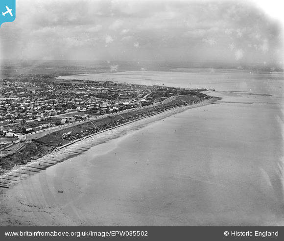
EPW035502 ENGLAND (1931). Tankerton Slopes and the town, Whitstable, from the north-east, 1931
© Copyright OpenStreetMap contributors and licensed by the OpenStreetMap Foundation. 2026. Cartography is licensed as CC BY-SA.
Details
| Title | [EPW035502] Tankerton Slopes and the town, Whitstable, from the north-east, 1931 |
| Reference | EPW035502 |
| Date | May-1931 |
| Link | |
| Place name | WHITSTABLE |
| Parish | |
| District | |
| Country | ENGLAND |
| Easting / Northing | 612052, 167474 |
| Longitude / Latitude | 1.0466390712886, 51.366177756515 |
| National Grid Reference | TR121675 |
Pins

Sparky |
Tuesday 24th of October 2017 08:08:36 AM | |

Sparky |
Sunday 13th of August 2017 12:11:32 PM | |

Sparky |
Sunday 13th of August 2017 12:11:32 PM | |

Sparky |
Sunday 13th of August 2017 12:11:02 PM | |

Sparky |
Sunday 13th of August 2017 12:10:37 PM | |

Sparky |
Sunday 13th of August 2017 12:10:37 PM | |

Sparky |
Sunday 13th of August 2017 12:09:51 PM | |

Sparky |
Sunday 13th of August 2017 12:09:17 PM | |

Sparky |
Sunday 13th of August 2017 12:08:19 PM | |

Sparky |
Sunday 13th of August 2017 12:07:53 PM | |

Sparky |
Sunday 13th of August 2017 12:07:17 PM | |

Sparky |
Sunday 13th of August 2017 12:07:16 PM | |

Sparky |
Sunday 13th of August 2017 12:06:54 PM | |

Sparky |
Sunday 13th of August 2017 12:05:55 PM | |

Sparky |
Sunday 13th of August 2017 12:05:00 PM | |

Sparky |
Sunday 13th of August 2017 12:05:00 PM | |

Sparky |
Sunday 13th of August 2017 12:03:56 PM | |

Sparky |
Sunday 13th of August 2017 12:02:32 PM |
User Comment Contributions

Cockle Man at the Harbour |

Alan McFaden |
Monday 13th of October 2014 10:31:50 AM |

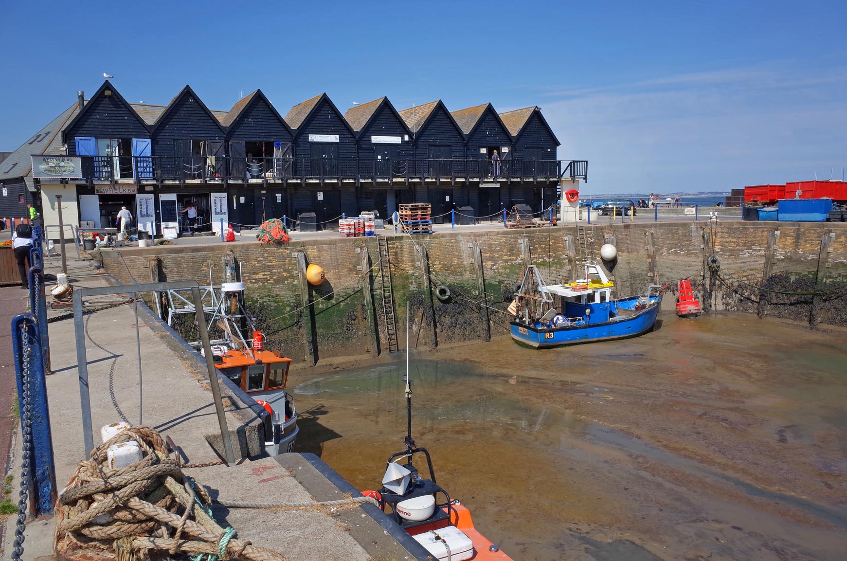
Whitstable Harbour 2014 |

Alan McFaden |
Monday 13th of October 2014 10:31:18 AM |


![[EPW035502] Tankerton Slopes and the town, Whitstable, from the north-east, 1931](http://britainfromabove.org.uk/sites/all/libraries/aerofilms-images/public/100x100/EPW/035/EPW035502.jpg)
![[EPW009154] Marine Parade Road, Whitstable, 1923](http://britainfromabove.org.uk/sites/all/libraries/aerofilms-images/public/100x100/EPW/009/EPW009154.jpg)