
EPW035499 ENGLAND (1931). Whitstable Harbour and town, Whitstable, from the north-west, 1931

© Copyright OpenStreetMap contributors and licensed by the OpenStreetMap Foundation. 2026. Cartography is licensed as CC BY-SA.
Nearby Images (4)
EPW035499

EPW054078

EPW018620

EPW054082

Details
| Title | [EPW035499] Whitstable Harbour and town, Whitstable, from the north-west, 1931 |
| Reference | EPW035499 |
| Date | May-1931 |
| Link | |
| Place name | WHITSTABLE |
| Parish | |
| District | |
| Country | ENGLAND |
| Easting / Northing | 610355, 166926 |
| Longitude / Latitude | 1.0219699450786, 51.36188766422 |
| National Grid Reference | TR104669 |
Pins
Be the first to add a comment to this image!
User Comment Contributions
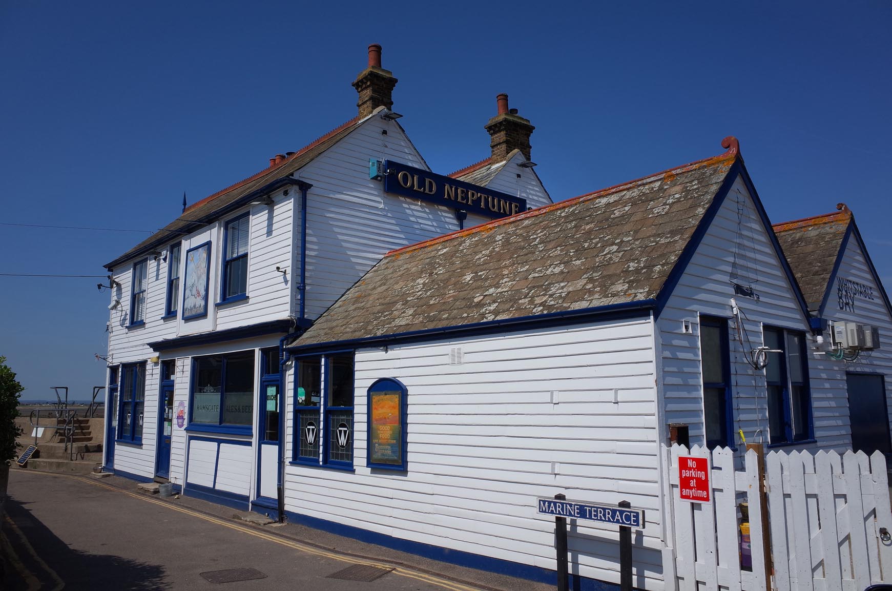
The Old Fortune PH Whitstable |

Alan McFaden |
Thursday 27th of November 2014 11:44:03 AM |
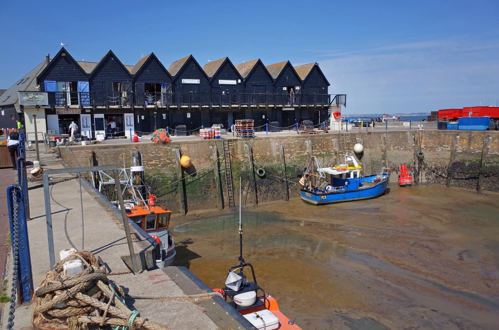
Whitstable Harbour |
Alan McFaden |
Thursday 27th of November 2014 11:43:15 AM |
Thanks to you both for spotting this. I'll set the wheels in motion to get this one updated so it will appear the right way round in due course. Many thanks, Angharad BfA Cataloguer |
Angharad Wicks |
Wednesday 29th of January 2014 03:49:08 PM |
Appears to be a mirror image |

andytight |
Wednesday 29th of January 2014 02:47:06 PM |
Compared with EPW018623, maps and modern aerial pictures this image is the wrong way round. The ship are on the quay to the east of the river (appearing here to be on the west) with the line of beach huts running to the east. North and the sea should be on the left of the picture not the right. |

Maurice |
Tuesday 21st of May 2013 06:42:15 AM |