
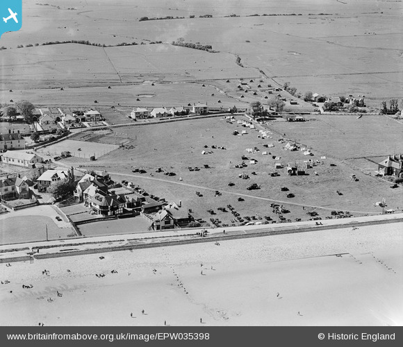
EPW035398 ENGLAND (1931). Dymchurch camp site and environs, Dymchurch, 1931
© Copyright OpenStreetMap contributors and licensed by the OpenStreetMap Foundation. 2025. Cartography is licensed as CC BY-SA.
Nearby Images (3)
EPW035398

EPW035395

EPW035393

Details
| Title | [EPW035398] Dymchurch camp site and environs, Dymchurch, 1931 |
| Reference | EPW035398 |
| Date | 25-May-1931 |
| Link | |
| Place name | DYMCHURCH |
| Parish | DYMCHURCH |
| District | |
| Country | ENGLAND |
| Easting / Northing | 610492, 129779 |
| Longitude / Latitude | 1.0021568517684, 51.028237105847 |
| National Grid Reference | TR105298 |
Pins

ade1066 |
Friday 24th of May 2013 05:38:15 PM |