
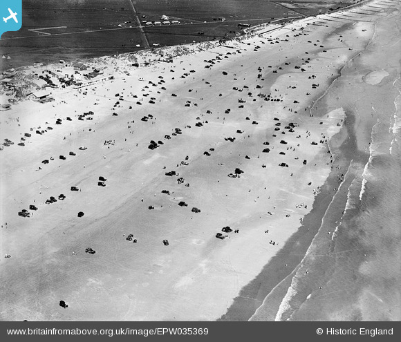
EPW035369 ENGLAND (1931). Broomhill Sands, Camber, 1931
© Copyright OpenStreetMap contributors and licensed by the OpenStreetMap Foundation. 2025. Cartography is licensed as CC BY-SA.
Nearby Images (2)
EPW035369

EPW035370

Details
| Title | [EPW035369] Broomhill Sands, Camber, 1931 |
| Reference | EPW035369 |
| Date | 25-May-1931 |
| Link | |
| Place name | CAMBER |
| Parish | CAMBER |
| District | |
| Country | ENGLAND |
| Easting / Northing | 596566, 118352 |
| Longitude / Latitude | 0.79761937085787, 50.930524883054 |
| National Grid Reference | TQ966184 |
Pins
Be the first to add a comment to this image!