
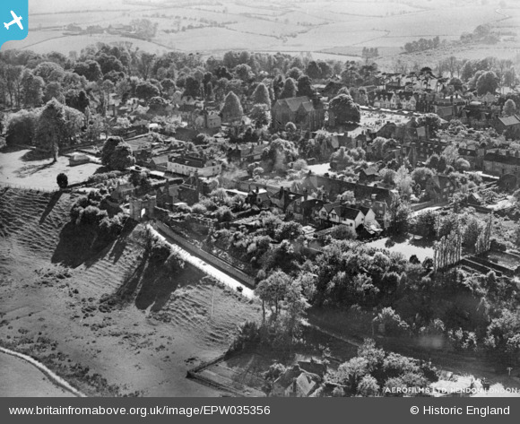
EPW035356 ENGLAND (1931). The town, Winchelsea, 1931. This image has been produced from a copy-negative.
© Copyright OpenStreetMap contributors and licensed by the OpenStreetMap Foundation. 2026. Cartography is licensed as CC BY-SA.
Nearby Images (8)
EPW035356

EPW035352

EPW026109

EAW022980

EPW026111

EPW026108

EPW026112

EPW026110

Details
| Title | [EPW035356] The town, Winchelsea, 1931. This image has been produced from a copy-negative. |
| Reference | EPW035356 |
| Date | 25-May-1931 |
| Link | |
| Place name | WINCHELSEA |
| Parish | ICKLESHAM |
| District | |
| Country | ENGLAND |
| Easting / Northing | 590656, 117448 |
| Longitude / Latitude | 0.71313509475475, 50.924387891887 |
| National Grid Reference | TQ907174 |
Pins
Be the first to add a comment to this image!