
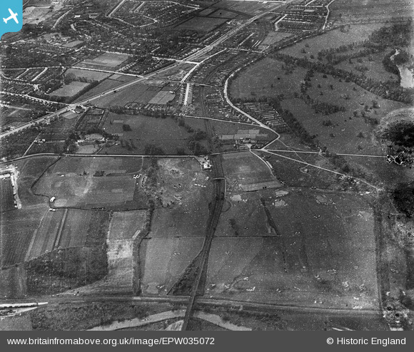
EPW035072 ENGLAND (1931). Wyke Green Golf Course, Osterley Park and the District Line heading south-west, Osterley, 1931
© Copyright OpenStreetMap contributors and licensed by the OpenStreetMap Foundation. 2026. Cartography is licensed as CC BY-SA.
Nearby Images (2)
EPW035072

EPW035087

Details
| Title | [EPW035072] Wyke Green Golf Course, Osterley Park and the District Line heading south-west, Osterley, 1931 |
| Reference | EPW035072 |
| Date | April-1931 |
| Link | |
| Place name | OSTERLEY |
| Parish | |
| District | |
| Country | ENGLAND |
| Easting / Northing | 515594, 177954 |
| Longitude / Latitude | -0.33490304568737, 51.488219977774 |
| National Grid Reference | TQ156780 |
Pins

Des Elmes |
Wednesday 6th of April 2016 01:15:38 PM | |
|
Des Elmes |
Wednesday 6th of April 2016 01:14:00 PM | |
|
Des Elmes |
Wednesday 6th of April 2016 01:12:22 PM | |
|
Des Elmes |
Wednesday 6th of April 2016 01:11:35 PM | |
|
Des Elmes |
Wednesday 6th of April 2016 01:10:10 PM |