
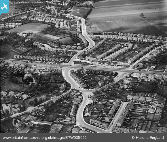
EPW035022 ENGLAND (1931). The Great West Road and environs, Lampton, 1931
© Copyright OpenStreetMap contributors and licensed by the OpenStreetMap Foundation. 2026. Cartography is licensed as CC BY-SA.
Nearby Images (5)
EPW035022

EPR000683

EPW038034A

EPW057611

EPW035035

Details
| Title | [EPW035022] The Great West Road and environs, Lampton, 1931 |
| Reference | EPW035022 |
| Date | April-1931 |
| Link | |
| Place name | LAMPTON |
| Parish | |
| District | |
| Country | ENGLAND |
| Easting / Northing | 513715, 176841 |
| Longitude / Latitude | -0.36231597885826, 51.478596445991 |
| National Grid Reference | TQ137768 |
Pins

GDT |
Thursday 16th of October 2025 01:38:58 PM | |
|
GDT |
Thursday 16th of October 2025 01:36:28 PM | |
|
Isleworth1961 |
Friday 23rd of October 2015 11:32:21 PM | |
|
Isleworth1961 |
Friday 23rd of October 2015 11:29:47 PM | |
|
Isleworth1961 |
Friday 23rd of October 2015 11:10:57 PM | |

Class31 |
Thursday 23rd of July 2015 04:11:23 PM | |
|
aeronaut |
Thursday 26th of February 2015 09:02:06 PM | |
|
aeronaut |
Thursday 26th of February 2015 08:59:48 PM | |
|
aeronaut |
Thursday 26th of February 2015 08:49:10 PM | |
|
aeronaut |
Thursday 26th of February 2015 08:45:55 PM | |
|
Isleworthian |
Monday 21st of October 2013 05:20:17 PM |
