
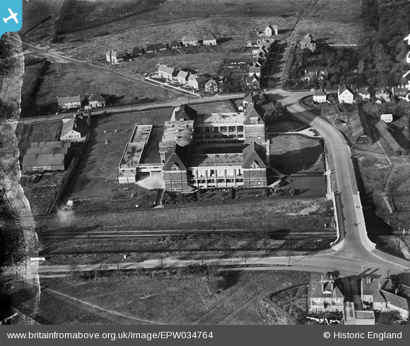
EPW034764 ENGLAND (1930). The Spirella Corset Works and environs, Letchworth Garden City, 1930. This image has been produced from a damaged negative.
© Copyright OpenStreetMap contributors and licensed by the OpenStreetMap Foundation. 2026. Cartography is licensed as CC BY-SA.
Nearby Images (28)
EPW034764

EPW034769

EPW034765

EPW034768

EPW034767

EAW034702

EPW034766

EAW034697

EAW007268

EAW007266

EAW007270

EAW010086

EAW007269

EAW007273

EAW007278

EAW034706

EAW010085

EAW010088

EAW007267

EAW007272

EAW007277

EAW010089

EAW010087

EAW007271

EAW007274

EAW007275

EAW007276

EAW034707

Details
| Title | [EPW034764] The Spirella Corset Works and environs, Letchworth Garden City, 1930. This image has been produced from a damaged negative. |
| Reference | EPW034764 |
| Date | 29-October-1930 |
| Link | |
| Place name | LETCHWORTH GARDEN CITY |
| Parish | LETCHWORTH GARDEN CITY |
| District | |
| Country | ENGLAND |
| Easting / Northing | 521530, 232760 |
| Longitude / Latitude | -0.23029785612672, 51.979566146808 |
| National Grid Reference | TL215328 |
Pins

Roscoe |
Saturday 11th of May 2013 06:09:32 PM | |
|
Roscoe |
Saturday 11th of May 2013 02:49:38 PM | |
|
Roscoe |
Saturday 11th of May 2013 02:48:27 PM | |
|
Roscoe |
Saturday 11th of May 2013 02:44:01 PM | |
|
Chells809 |
Friday 1st of February 2013 09:52:57 PM | |
|
Chells809 |
Friday 1st of February 2013 09:52:14 PM |
