
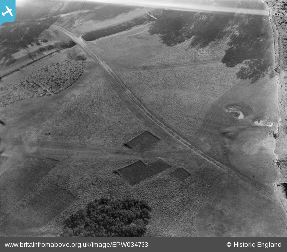
EPW034733 ENGLAND (1930). Stoke Poges Golf Course, Farnham Royal, 1930
© Copyright OpenStreetMap contributors and licensed by the OpenStreetMap Foundation. 2026. Cartography is licensed as CC BY-SA.
Nearby Images (4)
EPW034733

EPW034734

EPW034739

EPW034741

Details
| Title | [EPW034733] Stoke Poges Golf Course, Farnham Royal, 1930 |
| Reference | EPW034733 |
| Date | 29-October-1930 |
| Link | |
| Place name | FARNHAM ROYAL |
| Parish | FARNHAM ROYAL |
| District | |
| Country | ENGLAND |
| Easting / Northing | 496526, 182774 |
| Longitude / Latitude | -0.60815614286522, 51.535128370779 |
| National Grid Reference | SU965828 |
Pins
Be the first to add a comment to this image!