
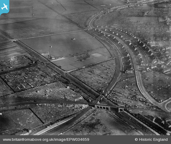
EPW034659 ENGLAND (1930). Reckitt's Recreation Ground, Kingston upon Hull, 1930
© Copyright OpenStreetMap contributors and licensed by the OpenStreetMap Foundation. 2026. Cartography is licensed as CC BY-SA.
Nearby Images (4)
EPW034659

EPW034654

EPW034647

EPW034658

Details
| Title | [EPW034659] Reckitt's Recreation Ground, Kingston upon Hull, 1930 |
| Reference | EPW034659 |
| Date | 16-October-1930 |
| Link | |
| Place name | KINGSTON UPON HULL |
| Parish | |
| District | |
| Country | ENGLAND |
| Easting / Northing | 510763, 430694 |
| Longitude / Latitude | -0.31963098346735, 53.76059094651 |
| National Grid Reference | TA108307 |
Pins

John Wass |
Tuesday 4th of July 2017 03:24:02 PM | |
|
John Wass |
Monday 25th of May 2015 04:11:37 PM | |
|
John Wass |
Monday 25th of May 2015 04:03:12 PM | |
|
HullPaul |
Wednesday 6th of August 2014 07:42:28 PM |