
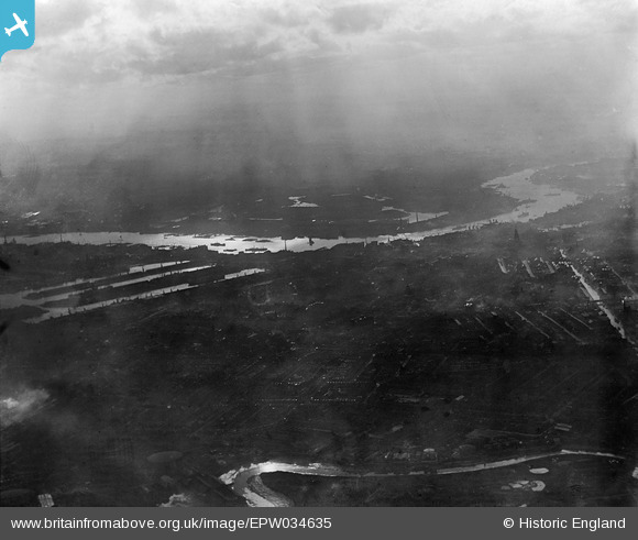
EPW034635 ENGLAND (1930). The River Thames and West India Docks, Poplar, from the north-east, 1930
© Copyright OpenStreetMap contributors and licensed by the OpenStreetMap Foundation. 2026. Cartography is licensed as CC BY-SA.
Nearby Images (3)
EPW034635

EPW010700

EAW000653

Details
| Title | [EPW034635] The River Thames and West India Docks, Poplar, from the north-east, 1930 |
| Reference | EPW034635 |
| Date | 16-October-1930 |
| Link | |
| Place name | POPLAR |
| Parish | |
| District | |
| Country | ENGLAND |
| Easting / Northing | 538253, 181692 |
| Longitude / Latitude | -0.0072364531109954, 51.516727253625 |
| National Grid Reference | TQ383817 |
Pins
Be the first to add a comment to this image!