
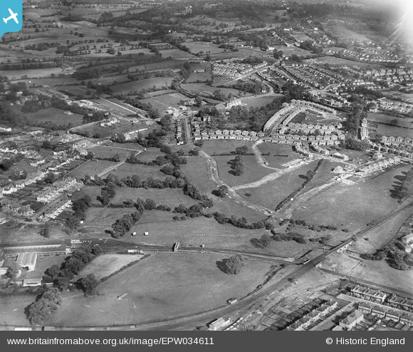
EPW034611 ENGLAND (1930). A new housing estate under construction near Lower Hale, Edgware, 1930
© Copyright OpenStreetMap contributors and licensed by the OpenStreetMap Foundation. 2026. Cartography is licensed as CC BY-SA.
Nearby Images (7)
EPW034611

EAW033380

EPW034561

EPW034564

EPW034566

EPW034565

EPW034557

Details
| Title | [EPW034611] A new housing estate under construction near Lower Hale, Edgware, 1930 |
| Reference | EPW034611 |
| Date | 16-October-1930 |
| Link | |
| Place name | EDGWARE |
| Parish | |
| District | |
| Country | ENGLAND |
| Easting / Northing | 519977, 192086 |
| Longitude / Latitude | -0.26697640470304, 51.614329836011 |
| National Grid Reference | TQ200921 |
