
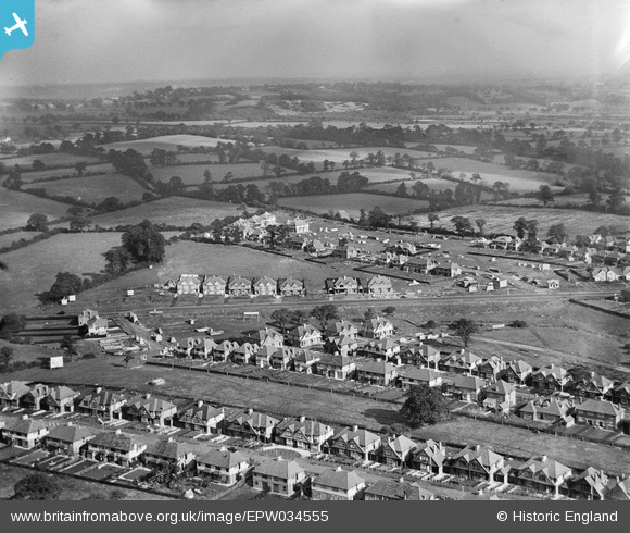
EPW034555 ENGLAND (1930). New housing around Glendale Avenue and environs, Edgware, from the south-west, 1930
© Copyright OpenStreetMap contributors and licensed by the OpenStreetMap Foundation. 2026. Cartography is licensed as CC BY-SA.
Nearby Images (2)
EPW034555

EPW029989

Details
| Title | [EPW034555] New housing around Glendale Avenue and environs, Edgware, from the south-west, 1930 |
| Reference | EPW034555 |
| Date | August-1930 |
| Link | |
| Place name | EDGWARE |
| Parish | |
| District | |
| Country | ENGLAND |
| Easting / Northing | 519017, 192763 |
| Longitude / Latitude | -0.28060650546093, 51.620618720461 |
| National Grid Reference | TQ190928 |
Pins

Brian |
Sunday 21st of February 2016 11:19:29 PM | |

Class31 |
Thursday 8th of August 2013 12:02:09 AM | |
|
Class31 |
Thursday 8th of August 2013 12:01:30 AM | |
|
Class31 |
Thursday 8th of August 2013 12:00:59 AM | |
|
Class31 |
Thursday 8th of August 2013 12:00:21 AM | |
|
Class31 |
Wednesday 7th of August 2013 11:59:35 PM |