
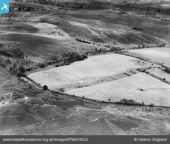
EPW034512 ENGLAND (1930). Fields and surrounding countryside, Isle of Thorns, 1930
© Copyright OpenStreetMap contributors and licensed by the OpenStreetMap Foundation. 2026. Cartography is licensed as CC BY-SA.
Nearby Images (4)
EPW034512

EPW034511

EPW034510

EPW034519

Details
| Title | [EPW034512] Fields and surrounding countryside, Isle of Thorns, 1930 |
| Reference | EPW034512 |
| Date | August-1930 |
| Link | |
| Place name | ISLE OF THORNS |
| Parish | DANEHILL |
| District | |
| Country | ENGLAND |
| Easting / Northing | 542048, 130773 |
| Longitude / Latitude | 0.027170720700396, 51.0581691747 |
| National Grid Reference | TQ420308 |
Pins
Be the first to add a comment to this image!