
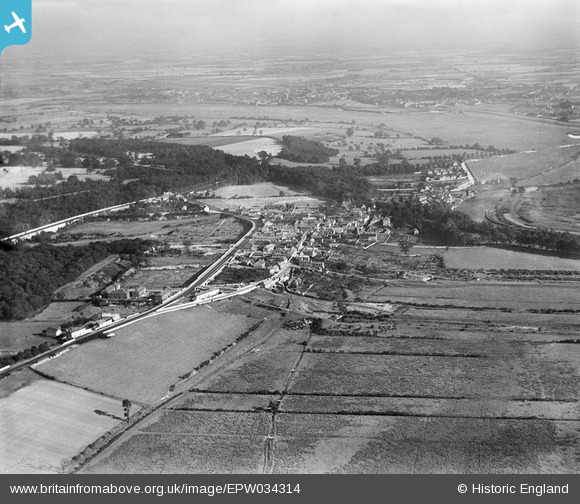
EPW034314 ENGLAND (1930). Brotherton Ings and the village, Brotherton, from the north-west, 1930
© Copyright OpenStreetMap contributors and licensed by the OpenStreetMap Foundation. 2026. Cartography is licensed as CC BY-SA.
Nearby Images (2)
EPW034314

EPW034315

Details
| Title | [EPW034314] Brotherton Ings and the village, Brotherton, from the north-west, 1930 |
| Reference | EPW034314 |
| Date | July-1930 |
| Link | |
| Place name | BROTHERTON |
| Parish | BROTHERTON |
| District | |
| Country | ENGLAND |
| Easting / Northing | 447854, 426354 |
| Longitude / Latitude | -1.2745466601883, 53.731159990576 |
| National Grid Reference | SE479264 |
