
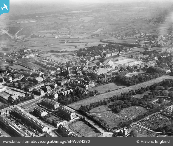
EPW034280 ENGLAND (1930). The town centre, Pudsey, from the north-west, 1930
© Copyright OpenStreetMap contributors and licensed by the OpenStreetMap Foundation. 2026. Cartography is licensed as CC BY-SA.
Nearby Images (4)
EPW034280

EPW023815

EPW023817

EPW034278

Details
| Title | [EPW034280] The town centre, Pudsey, from the north-west, 1930 |
| Reference | EPW034280 |
| Date | July-1930 |
| Link | |
| Place name | PUDSEY |
| Parish | |
| District | |
| Country | ENGLAND |
| Easting / Northing | 422139, 433474 |
| Longitude / Latitude | -1.6638564869672, 53.796886742363 |
| National Grid Reference | SE221335 |
Pins

doc |
Friday 21st of December 2018 12:46:53 PM | |
|
Eccles Web |
Thursday 14th of November 2013 06:48:23 PM | |
|
Eccles Web |
Thursday 14th of November 2013 06:47:51 PM |