
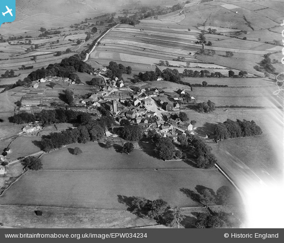
EPW034234 ENGLAND (1930). St Bartholomew's Church, the village and surrounding countryside, Longnor, 1930
© Copyright OpenStreetMap contributors and licensed by the OpenStreetMap Foundation. 2025. Cartography is licensed as CC BY-SA.
Nearby Images (4)
EPW034234

EPW034236

EPW034238

EPW034237

Details
| Title | [EPW034234] St Bartholomew's Church, the village and surrounding countryside, Longnor, 1930 |
| Reference | EPW034234 |
| Date | July-1930 |
| Link | |
| Place name | LONGNOR |
| Parish | LONGNOR |
| District | |
| Country | ENGLAND |
| Easting / Northing | 408841, 364948 |
| Longitude / Latitude | -1.8676942701468, 53.181271378398 |
| National Grid Reference | SK088649 |
Pins
Be the first to add a comment to this image!