
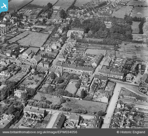
EPW034056 ENGLAND (1930). Housing along Mill Street, Hednesford Street and New Street, Cannock, 1930
© Copyright OpenStreetMap contributors and licensed by the OpenStreetMap Foundation. 2026. Cartography is licensed as CC BY-SA.
Nearby Images (8)
EPW034056

EPW034055

EPW034054

EPW060280

EPW060282

EPW060281

EPW060279

EPW060283

Details
| Title | [EPW034056] Housing along Mill Street, Hednesford Street and New Street, Cannock, 1930 |
| Reference | EPW034056 |
| Date | July-1930 |
| Link | |
| Place name | CANNOCK |
| Parish | |
| District | |
| Country | ENGLAND |
| Easting / Northing | 398459, 310006 |
| Longitude / Latitude | -2.022800050047, 52.687396643684 |
| National Grid Reference | SJ985100 |
Pins

SIB1 |
Wednesday 15th of April 2026 10:56:09 PM | |
|
Mr.Raffles |
Friday 5th of February 2021 06:53:42 PM | |
|
NorthMidlands |
Tuesday 21st of May 2019 02:01:51 PM | |
|
NorthMidlands |
Tuesday 21st of May 2019 01:59:30 PM | |
|
NorthMidlands |
Tuesday 21st of May 2019 01:58:11 PM | |
|
Tim |
Tuesday 8th of March 2016 06:47:59 PM |