
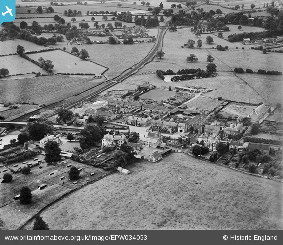
EPW034053 ENGLAND (1930). Housing along Station Road and Station Terrace, Newport, 1930
© Copyright OpenStreetMap contributors and licensed by the OpenStreetMap Foundation. 2026. Cartography is licensed as CC BY-SA.
Nearby Images (2)
EPW034053

EPR000557
, Newport, 1935")
Details
| Title | [EPW034053] Housing along Station Road and Station Terrace, Newport, 1930 |
| Reference | EPW034053 |
| Date | July-1930 |
| Link | |
| Place name | NEWPORT |
| Parish | NEWPORT |
| District | |
| Country | ENGLAND |
| Easting / Northing | 374834, 318364 |
| Longitude / Latitude | -2.3729828611687, 52.761956257493 |
| National Grid Reference | SJ748184 |
Pins
User Comment Contributions
The line closed to passenger traffic in 1964 and demolition began in March 1968 |

mcgeacs |
Saturday 9th of March 2013 12:04:49 PM |