
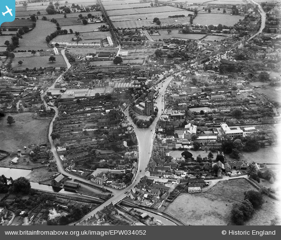
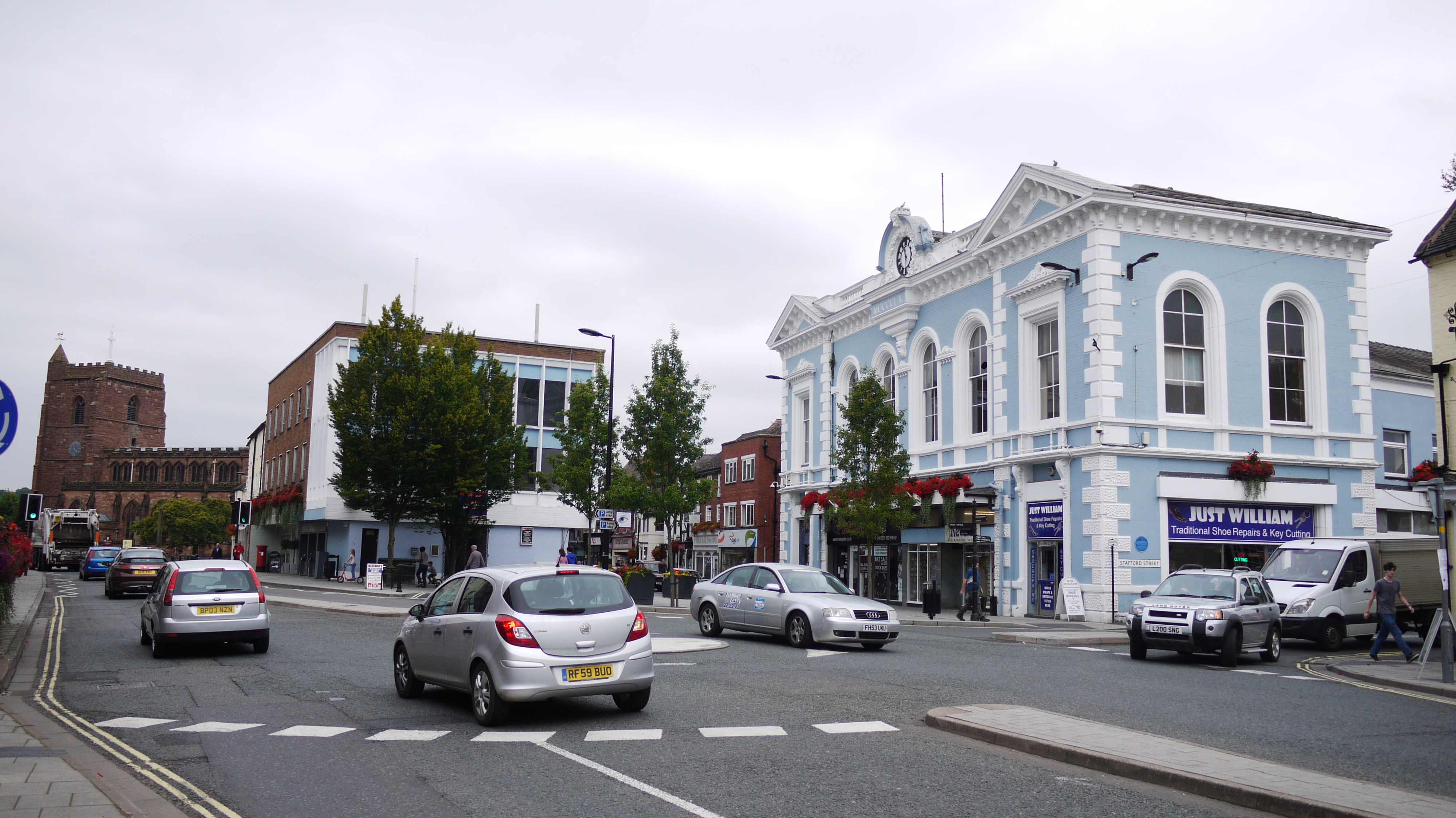
EPW034052 ENGLAND (1930). Newport Lock, the High Street and St Nicholas's Church, Newport, 1930
© Copyright OpenStreetMap contributors and licensed by the OpenStreetMap Foundation. 2026. Cartography is licensed as CC BY-SA.
Nearby Images (9)
EPW034052

EPW034050

EPW005738

EPW005739

EAW006709

EAW006710

EAW006711

EPW034051

EPW005737

Details
| Title | [EPW034052] Newport Lock, the High Street and St Nicholas's Church, Newport, 1930 |
| Reference | EPW034052 |
| Date | July-1930 |
| Link | |
| Place name | NEWPORT |
| Parish | NEWPORT |
| District | |
| Country | ENGLAND |
| Easting / Northing | 374501, 319192 |
| Longitude / Latitude | -2.3779825605245, 52.769384671307 |
| National Grid Reference | SJ745192 |
Pins

Class31 |
Monday 17th of August 2015 10:52:11 PM | |
|
Class31 |
Monday 17th of August 2015 10:50:56 PM | |
|
Class31 |
Monday 17th of August 2015 10:49:41 PM | |

curnock |
Sunday 15th of December 2013 04:25:59 PM | |
|
Septercius |
Friday 14th of June 2013 06:43:28 PM | |
|
Dan Warren |
Friday 3rd of May 2013 12:28:44 PM |


User Comment Contributions
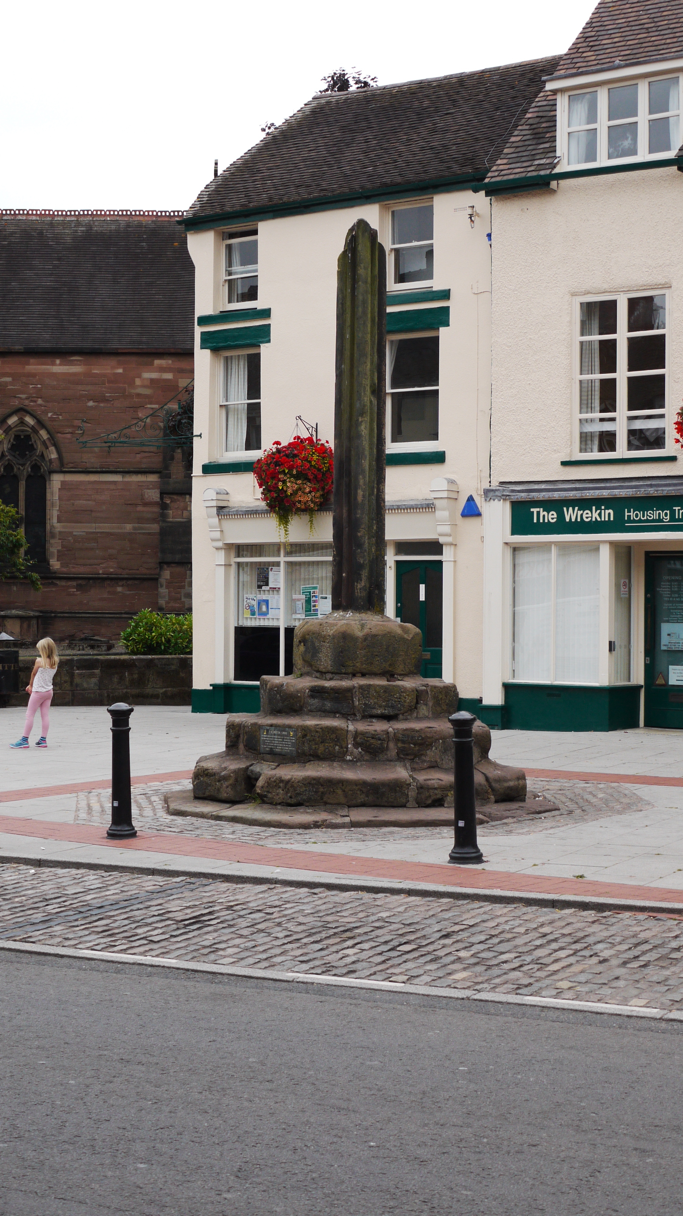
The Puleston or Butter Cross, Newport, 13/08/2015 |
Class31 |
Monday 17th of August 2015 10:54:02 PM |
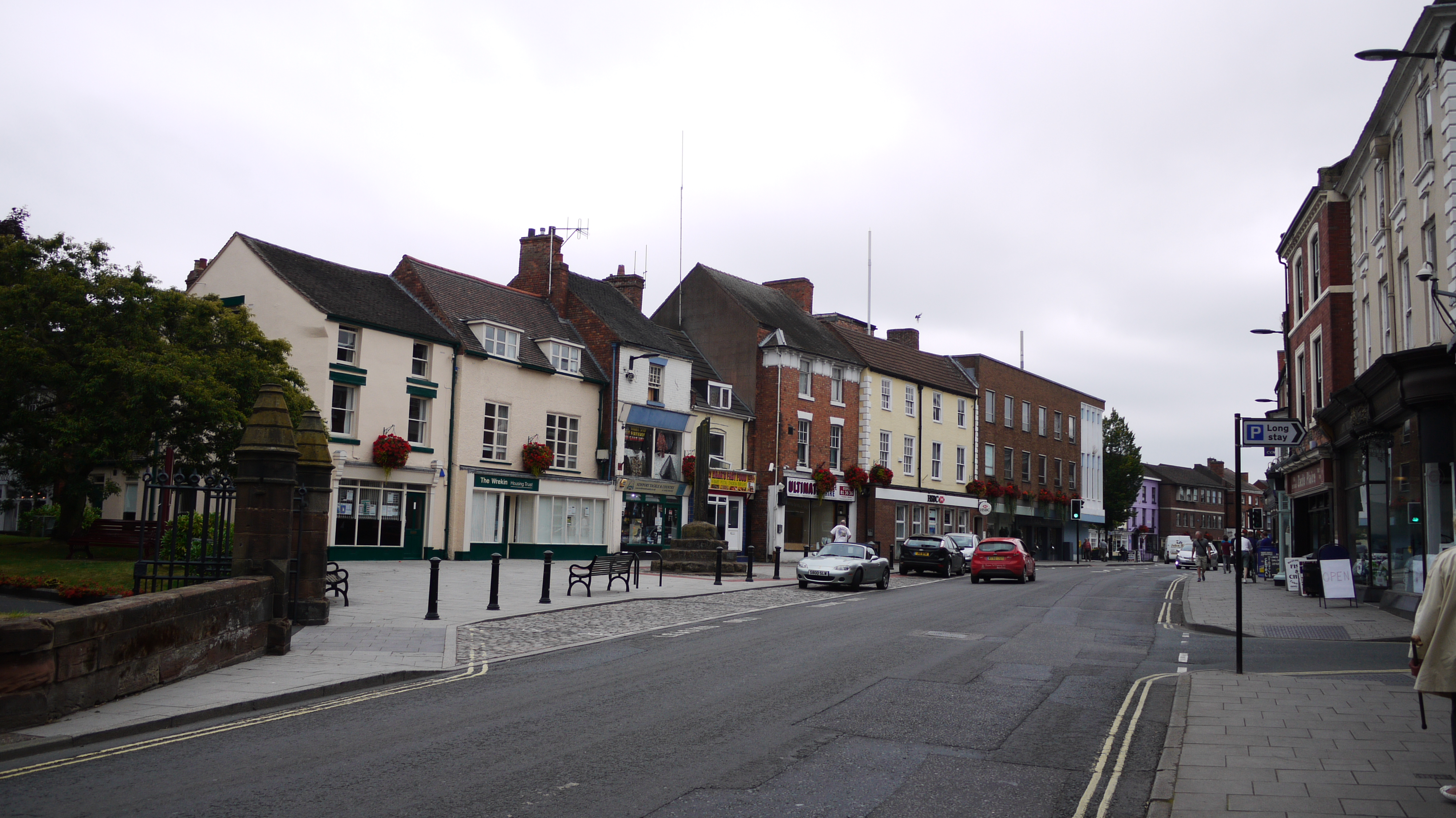
High Street, Newport, 13/08/2015 |
Class31 |
Monday 17th of August 2015 10:53:33 PM |
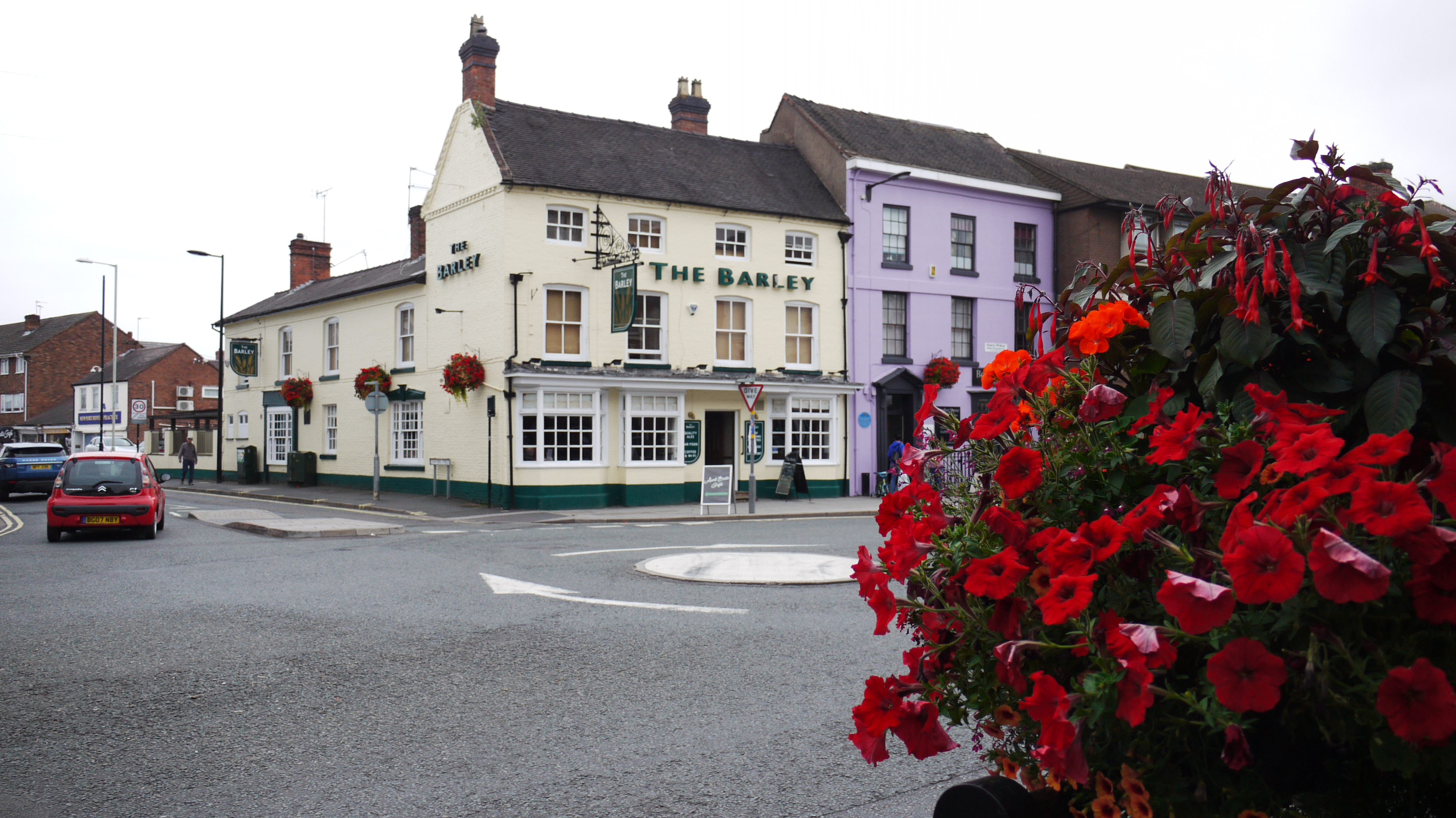
The Barley Mow PH, Newport, 13/08/2015 |
Class31 |
Monday 17th of August 2015 10:52:42 PM |
Market Hall, Newport, 13/08/2015 |
Class31 |
Monday 17th of August 2015 10:51:28 PM |

St. Nicholas's Church, Newport, 13/08/2015 |
Class31 |
Monday 17th of August 2015 10:50:13 PM |