
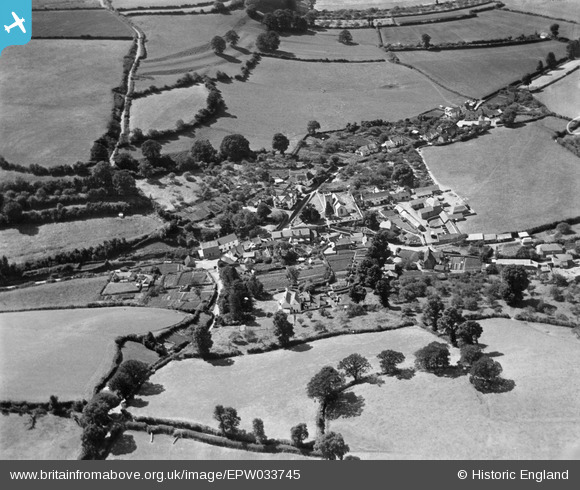
EPW033745 ENGLAND (1930). The village and surrounding countryside, Withycombe, 1930
© Copyright OpenStreetMap contributors and licensed by the OpenStreetMap Foundation. 2025. Cartography is licensed as CC BY-SA.
Nearby Images (3)
EPW033745

EPW033743

EPW033744

Details
| Title | [EPW033745] The village and surrounding countryside, Withycombe, 1930 |
| Reference | EPW033745 |
| Date | July-1930 |
| Link | |
| Place name | WITHYCOMBE |
| Parish | WITHYCOMBE |
| District | |
| Country | ENGLAND |
| Easting / Northing | 301550, 141256 |
| Longitude / Latitude | -3.4080892475699, 51.161549218527 |
| National Grid Reference | ST016413 |
Pins
Be the first to add a comment to this image!